When it comes to weather, wind has a major impact on business operations.
High gusts of wind can cause major damage during a hurricane; derail a train off its tracks; blow over a shipping container; or damage a crane, putting its operator at risk.
For many business leaders, some operations must cease above a specific wind speed, depending on your equipment and safety regulations.
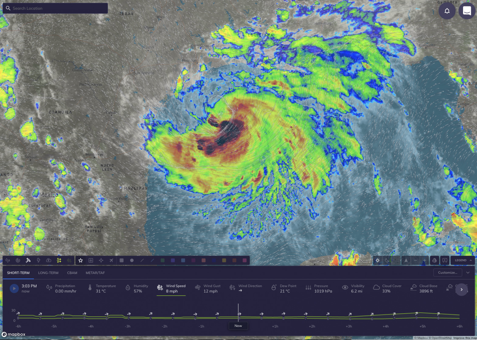
This is exactly why we’ve invested in the Dynamic Wind Layer for the Tomorrow.io platform. This animated particle layer on the Tomorrow.io map shows both Wind Direction and Wind Speed at the same time across the world — providing the viewer with an intuitive way to understand the speed and directionality of winds at a glance.
Wind on the move
This view of the wind is not only beautiful and somewhat mesmerizing to watch — it’s also incredibly useful to your business. Rather than looking at wind speed and direction as separate data points, this view combines the two in an actionable view.

Tomorrow.io still has Insights at its core — allowing you as an operator to understand the impact of the weather on your operations at a glance. Let’s say you’re a railroad company with tracks that cross the entire continental US. A rapid cross-wind could put your train at risk of derailment.
Now, we have a more sophisticated experience to help you contextualize this impact quicker so you can make a decision faster. Our goal is to build tools that allow you to understand what’s happening and what will happen in as short a time as possible. The dynamic wind layer and its interactive experience was built to do exactly this.
How to use dynamic wind
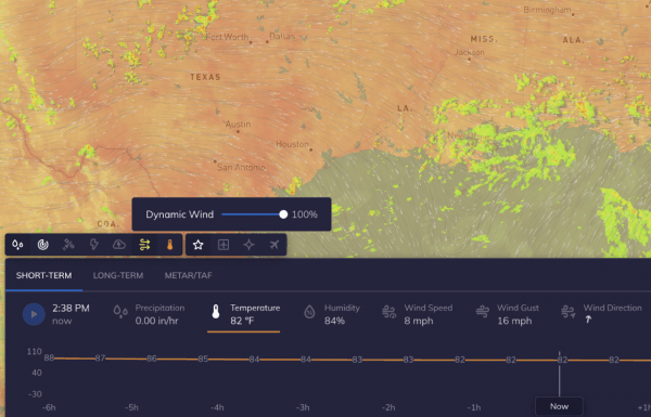
For existing customers, you can easily turn on dynamic wind by selecting the new wind icon in the layers bar in the upper left corner just above the timeline.
This added layer gives a new dimension to your weather dashboard, in addition to precipitation, temperature, and more. Not an existing customer yet, but want to learn more about dynamic wind?
