A New Paradigm in Weather and Climate Prediction
Powered by the unique, pulse-to-pulse reconfigurable radar, our weather satellite constellation is expected to enable the collection of multiple geophysical variables.
Collecting high-resolution precipitation data with an average global revisit rate of 1 hour will lead to a new level of understanding and prediction of hurricanes, floods, landslides, wildfires and droughts.
Our Constellation will Address Numerous Applications
Flood & Landslide Risk
Accurate early warnings of flooding and landslide risk for developed and developing world.
Numerical Weather Prediction
Drive significant improvement in forecast skills for global and regional NWP models.
Shipping & Supply Chain
Global en-route storm detection. Ocean wave height and surface winds mapping.
Aviation
Global en-route storm detection tracking. Weather radar and nowcast for every airport on earth.
Agriculture
Power farming decisions for every farm on earth using the world’s most accurate and comprehensive rainfall data.
Renewables
Storm prediction for assets outside of terrestrial radar coverage; accurate and timely streamflow forecasts.
Hurricanes & Typhoons
Improve intensity and trajectory forecast for every hurricane, typhoon and cyclone on earth.
Wildfire & Drought Risk
Worldwide precipitation data to inform fire danger indices and drought forecasts.
Satellite-derived Products

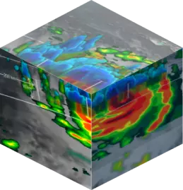
3D Precipitation
Improve flood, landslide, wildfire and drought monitoring and prediction.
Enable collection of global rainfall records for climate science.

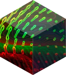
3D Temperature and Water Vapor Profiles
Increase understanding of storm structure and intensity.
Enabling real-time disaster warnings and improving global weather forecasts.
Coming Soon

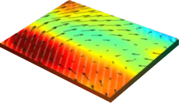
Ocean Surface Winds
Detect tropical cyclone formation.
Improve marine wind/wave warnings, ship routing, and wind energy forecasts.

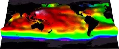
Sea Surface and Wave Height
Enhanced prediction of tides, sea level rise and coastal erosion.
Improve ship routing, fisheries management.
Become a Member
Are you a remote sensing professional, atmospheric scientist or weather expert?
Collaborate with us on scientific research, data assimilation and applications.