Advancing Radar Satellite Technology
Tomorrow.io’s second generation radar satellites will redefine the boundaries of space radar technology, delivering accurate and detailed insights into precipitation with unprecedented spatial coverage at all times of day.
The Dawn of Space-Based Weather Radar at Scale
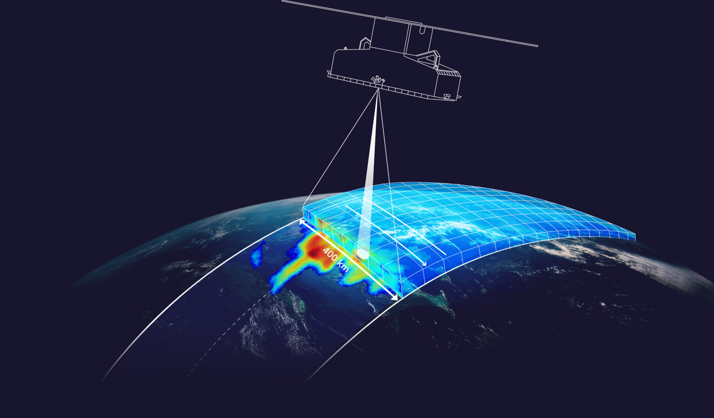
Tomorrow’s R3-10 satellites will employ a novel radar design to monitor Earth’s atmosphere, oceans, and land, promising improved real-time characterization and prediction capabilities for weather around the globe.
Building upon the successes of the Pathfinder series, these satellites will introduce Tomorrow.io’s proprietary scanning antenna technology, delivering enhanced weather intelligence with wide coverage to your fingertips.
Tomorrow Radar-Equipped Satellites
- Sensitivity
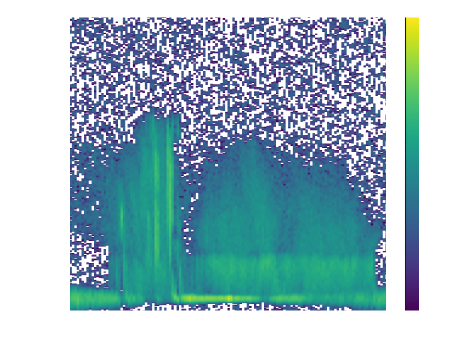
12 dBZ - Frequency
35.5-36 GHz - Class
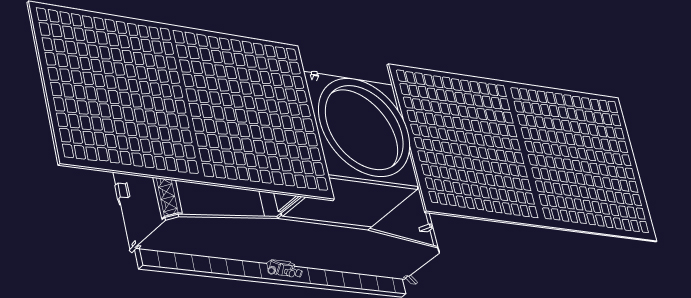
ESPA Grande
- Spacecraft
? 300 kg - Orbit
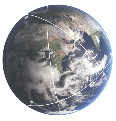
550 km / SSO+Mid-incl - Antenna
Proprietary scanning antenna - Instrument
Ka-Band Software Defined Radar - Mode
Cross-track scanning - Design Lifespan
5 years - Ground Swath
400 km - Vertical Resolution
250 m - Horizontal Resolution
5 km
Tomorrow Radar-Equipped Satellites
- Antenna
Proprietary scanning antenna - Mode
Cross-track scanning - Instrument
Ka-Band Software Defined Radar - Horizontal Resolution
5 km - Design Lifespan
5 years - Vertical Resolution
250 m
- Spacecraft
? 300 kg - Orbit
550 km / SSO+Mid-incl - Ground Swath
400 km - Sensitivity
12 dBZ - Frequency
35.5-36 GHz - Class
ESPA Grande