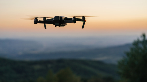
Aerial Photography
Monitor weather conditions that will improve aerial photography operations and ensure the highest quality of photos and videos.
Get the highest quality images and videos every time
Destination A
Destination B
Insight In this Dashboard
severity - 2 moderate
Prep For Image Taking: Ideal Flying Conditions
Winds are low, should be easy to stabilize drone. Visibility is high, image quality should be great.
severity - 4 extreme
No Go: Low Cloud Base
Cloud base is lower than 1000ft. Flight is restricted due to low visibility along flying route.
severity - 4 extreme
No Go: Low Visibility
Low visibility is expected along flying route.
severity - 4 extreme
No Go: High Winds
High winds are expected along flying route.
severity - 4 extreme
No Go: Precipitation
Precipitation is expected along flying route.
severity - 4 extreme
Do Not Fly: Operating Temperature Exceeded
The drone cannot operate below this operating temperature. Wait until conditions cool off before flying.
severity - 4 extreme
Do Not Fly: Operating Temperature Exceeded
The drone cannot operate below this operating temperature. Wait until conditions cool off before flying.

