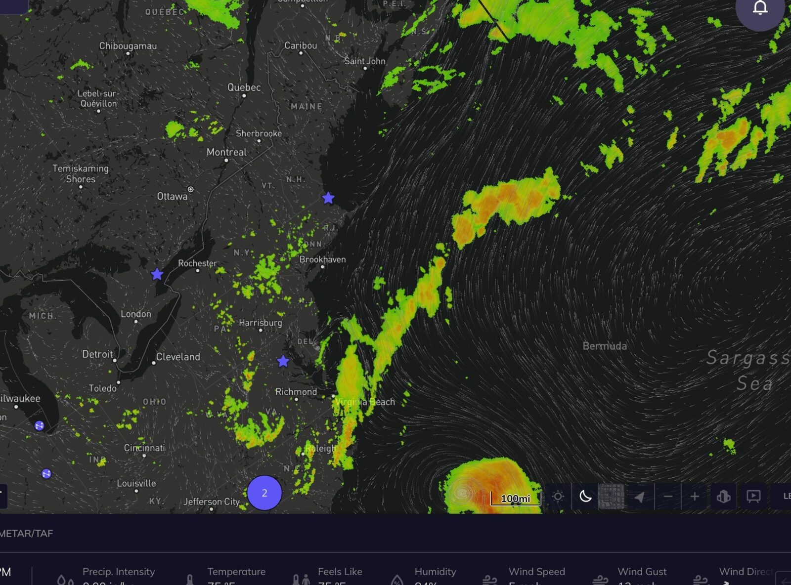
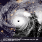
Tropical Storm Henri is located about 320 miles south-southeast of Cape Hatteras, and has begun to turn north, currently moving north-northwest at 6 mph. The storm is likely to accelerate rapidly over the course of the day Saturday as it intensifies into a hurricane over warm Gulf Stream waters.
Landfall is likely Sunday morning or early Sunday afternoon, potentially as a strong category 1 or category 2 hurricane, along Long Island or as far east as Martha’s Vineyard. A hurricane watch is currently in place for most of Long Island. Recent guidance has shifted the track further west, making landfall more impactful for the New York City area.
Direct impacts to the JFK/LGA include very heavy rain and strong winds, potentially gusting to 60-80 mph between 4am and 6pm Sunday as the storm makes landfall.
The radius of strongest winds will be small, on the order of 30-50 miles, so a small deviation east or west could create a significant change in maximum wind speeds at the stadium, and these strong wind estimates are in the case of an extreme westward track.
A far easterly track, which is becoming less likely, would put maximum wind gusts in the 20-30 mph range. Heavy rain is likely regardless of landfall location, with rainfall of 2-4″ possible through Sunday night.
After landfall, the storm lingers over upstate New York and New England Monday and into Tuesday morning before sweeping northeast. Tropical storm force winds are likely to diminish by Monday morning, but the storm could produce another 0.5-1″ of rain at JFK/LGA before Tuesday morning.
