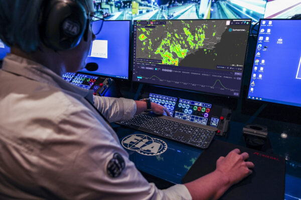
The Boston Globe recently featured Tomorrow.io about our exciting announcements, the highlights from the article are below:
Boston weather forecasting startup Tomorrow.io got a high-profile chance to test its two newest satellites when Hurricane Helene sprang up in the Gulf of Mexico last week.
The two toaster-sized satellites, which carry microwave sensors capable of measuring air temperature, water vapor, and precipitation, were launched in August in a low-earth orbit of about 340 miles. They collected data about Helene as it strengthened from a tropical storm into the strongest hurricane ever to hit the Big Bend coast of Florida, wreaking havoc across six states and killing at least 166 people.
Data from the storm helped validate that the two satellites, Tomorrow.io’s first with microwave sensors, are operating properly. Tomorrow.io now plans to launch 10 more microwave sensing satellites by the end of next year, to go with the two already in orbit and two radar-sensing satellites launched in 2023, the company said on Thursday.
In the future, satellite data could help provide earlier warnings and more accurate storm tracks and impacts, Rei Goffer, cofounder and chief strategy officer, said. In a post on LinkedIn, the company created an animation showing how much more detail it could provide for tracking Helene.
While government-owned weather satellites collect microwave data over some regions, the Tomorrow.io constellation — once completed — aims to cover the entire globe with readings updated every hour, Goffer said.
Providing broader and more frequent coverage of the planet will improve weather forecasts for currently underserved regions in Africa and Asia and also add more data to the models forecasting for the US, by essentially collecting readings from storms and systems earlier in their formation, he said.
“I’m in the US, what do I care about the weather in Nigeria?” Goffer said. “Well, that’s going to impact your weather later this week. Those poorly covered regions today are where all the error in our models [that provide weather forecasts] is coming from, because we start with the wrong initial conditions.”
Current weather forecasting relies on a network of ground-based radar stations and the US government’s massive GOES satellites, which track storms using visible light and infrared images. They sit in geostationary orbits about 22,000 miles high so that they can provide constant monitoring of the country. About a half-dozen large government-owned satellites collect microwave data, but only over limited areas.
The National Oceanic and Atmospheric Administration, which oversees US forecasting, struck a deal with Tomorrow.io last month to buy two years of data for $2.3 million. “The importance of microwave radiance observations has been demonstrated numerous times at several weather centers by impact experiments and by regular monitoring of the sensitivity of the short-term forecast error to different observation types,” NOAA said in a statement.