The decision model — for the calls you commit to before you can be sure.
A storm-desk lead has until tonight to decide whether crews pre-position for tomorrow’s gust front, and the forecast says forty miles an hour, give or take. A port captain has a vessel that sails at six and cranes that stop at a wind limit the berth plan is cut against. Neither can wait for the weather to resolve. Both have to commit while the honest answer is still a range — and both need to know how much of that range lands on the wrong side of their line.
Every operator knows this about a decision window: the options in it are not equal, and they do not expire together. The best ones go first. As the clock runs, what is left is what costs more, moves less, or cannot be taken back — and by the time the weather has resolved, the choice has usually been made for you.
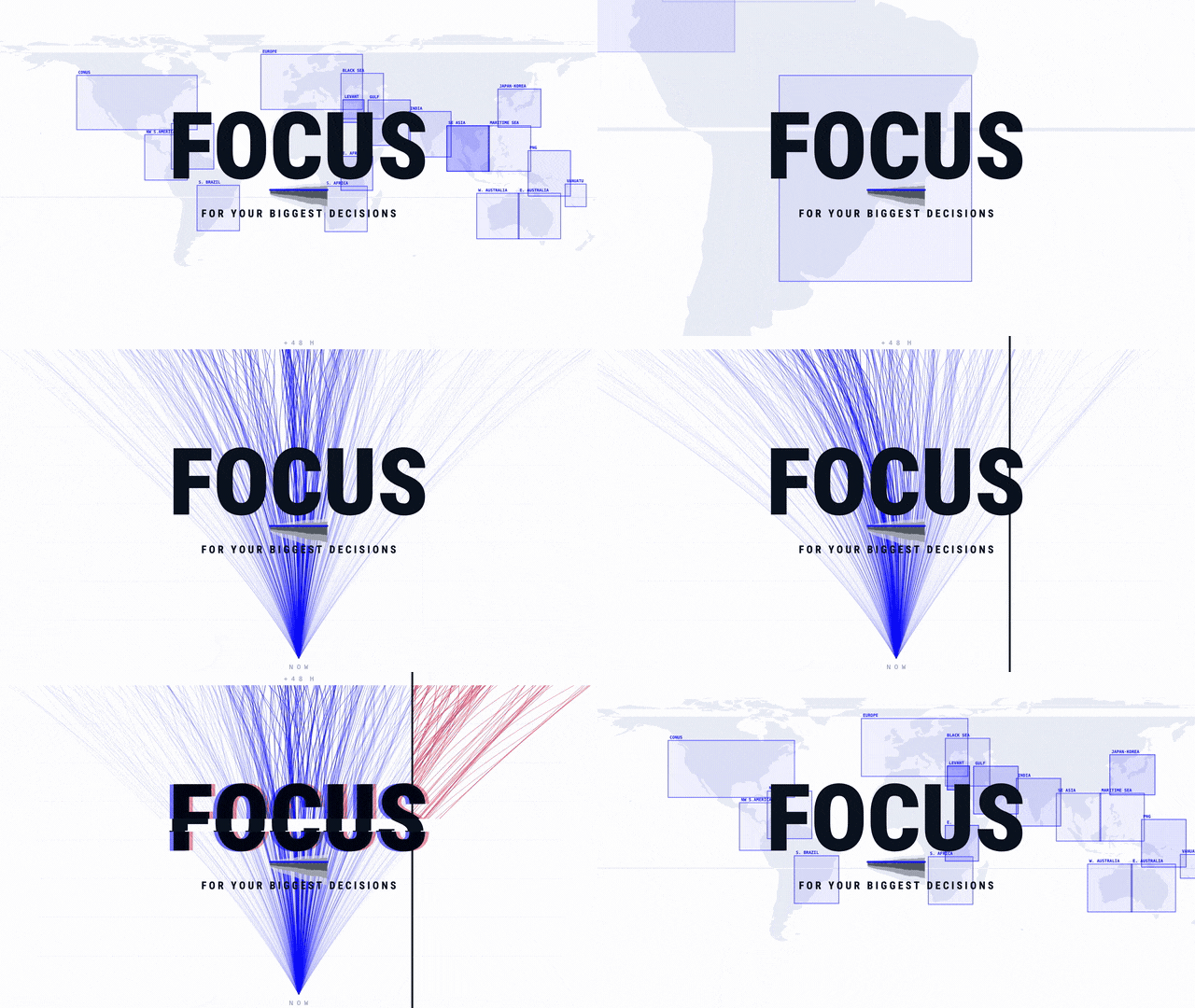
FOCUS is built for that window. It gives you the read while the best options are still on the table, and it shows you the risk and the uncertainty in your own scenario — so the call gets made while there is still time to make it.
See the weather API referenceExplore the platform

Published 3 September
The tactical model — for decisions that unfold while you are making them.
The five windows, and the one this post is about:
Whether the thing reaches you, when, and whether the job finishes first.
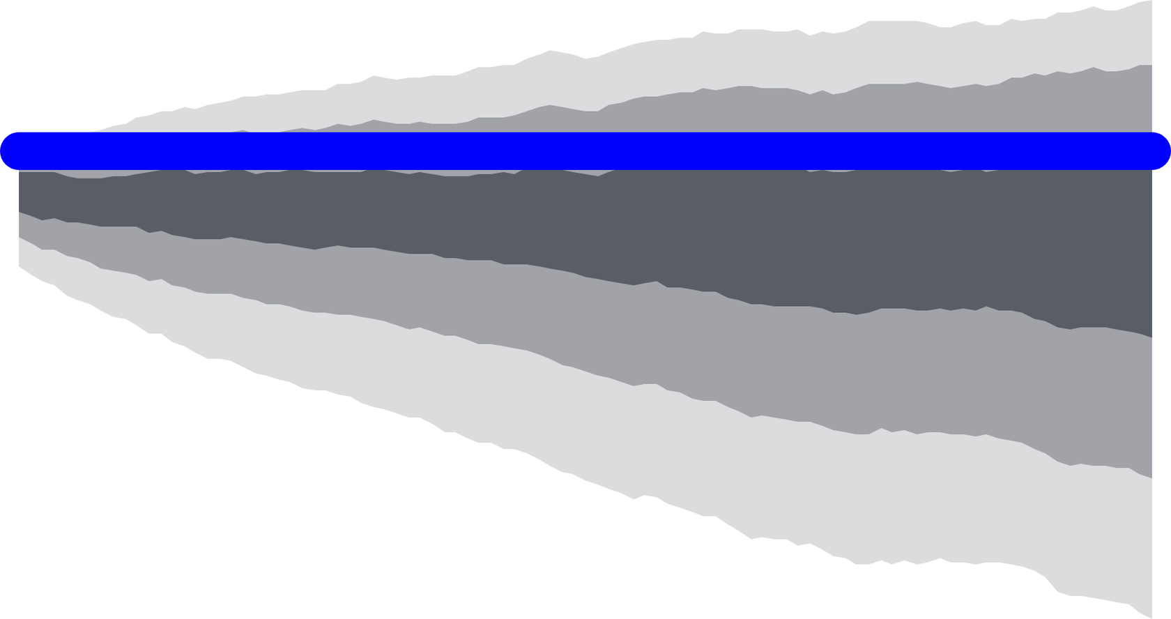
Whether to commit or hold, while the options still carry leverage.
What to plan for, and how firmly, when the sources still disagree.
Whether it happened at all, where, when, and how hard.
What a place will bear over years, before a target is committed to it.
More a platform than a model
What makes FOCUS a platform rather than a model is how it is deployed. It is configurable, it can be stood up wherever the decisions are, and it is actively deployed today across eighteen regions — each with its own setup, built around what our customers in that area need.
The global models are one of the quiet achievements of the field. A handful of centres run the whole atmosphere, several times a day, and everyone downstream — every national service, every app, every operator — starts from what they produce. They move the science forward for all of us at once, and nothing here is built to replace them.
But a global model is one board with every hand on it. Its cadence, its grid, its scenarios and the observations it is held to are set for the world, and the answer moves for everyone at the same time. Nobody can pull it toward their own question.
An operator committing to a big decision needs a model that can be pulled. One that refreshes at the pace the weather changes, not the pace a global cycle allows. One that draws scenarios around their risk, not a general spread. One that takes their observations, and sharpens where their decisions are made. That is what a deployment is set for — and what follows is how.
Faster, more scenarios, higher resolution
A single forecast output can tell you one thing: whether its one answer crossed your line. It cannot tell you how close the call was, or how much of the plausible range sat on the other side. For a decision that has to be committed before the weather resolves, that is the wrong instrument.
Every field FOCUS produces — wind, gusts, visibility, ceiling, temperature — arrives as seven numbers rather than one: the 5th, 10th, 25th, 50th, 75th, 90th and 95th percentile of what its scenarios came back with. Drawn forward over forty-eight hours they make a fan: tight where the scenarios agree, wide where the day could still go several ways. How wide it stands at the hour your decision lands is the first thing to read.
Calibrated to the constellation, public observations, and yours
A deployment is held to observations as it runs, and trained toward them as it learns. Three kinds feed it.
Spotlight · Private observations
Your sensors, as inputs that calibrate the model
Public observations describe the region. Yours describe the place the call is made — the anemometer on the crane, the station at the substation, the gauge at the site, the record of what actually happened on your ground. A deployment can take them in two ways at once. Every run is held to them, so the range it draws starts from what your instruments are reporting now. And over time the deployment is trained toward them, so the model learns how the weather behaves where you measure it, not only where the public network does.
The clock can follow them too. Where your sensors report faster than the standing cadence, the run can be set to their rate, so the range is redrawn when the sky is measured rather than on a fixed schedule. What comes out is a model built for your decisions, on your ground.
Eighteen regions
Eighteen regions run today — North and South America, Europe, southern and eastern Africa, the Levant, the Gulf and the Black Sea, India, Southeast Asia and the maritime continent, Japan, Australia and the western Pacific. Each was once its own deployment — tuned and calibrated for the teams that needed it. FOCUS treats a model as a configuration: one platform, one codebase, and a list of dials that define a deployment.
ReachThe intake is global; the forecast runs region by region, where a domain is deployed.
Each a custom configuration
Set the dials and the platform stands up a model where a project used to be. Underneath them the whole thing runs on a single GPU, which is the unglamorous reason a new region is a setting rather than a build — and why the list keeps growing.
Built from FOCUS
FOCUS Severe
Some days the question is not how windy or how cold. It is whether the storm forms, and where, and whether there is hail in it. For those days FOCUS goes a step further than quantiles and answers whether directly — as probability fields, derived from the same deployment: the same region, the same cadence, the same scenarios, read for a different question.
Where it shipsBecause they are built from FOCUS, they inherit everything the deployment is set to, on the same clock, without a second build. FOCUS Severe is the severe product on the 2026 capabilities pages for aviation, insurance and defense, among others.
What’s changed
Two things changed to make that possible: how the atmosphere is produced, and how often.
AI instead of physics, at run time
For most of a century there was exactly one way to get tomorrow’s atmosphere out of today’s: calculate it, do the math. Solve the physics forward, hour by hour, on the largest computer you could afford. Doing that well is one of the quiet monumental achievements of modern science — and it set the economics of the whole field, because calculation has a price list; and thus the ability to tailor a model for what you truly needed was always limited by the cost to run the model.
So, for most of that century, a forecast was one line run infrequently as if the single prediction was the only possibility and the sky moved at a fraction of its speed.
FOCUS belongs to a different era Tomorrow is proud to be on the cutting edge of. It is a diffusion-based AI model trained on physical weather simulations. The physics did not go away; it moved into the training. Calculated atmospheres are what the model learned from. What changed is the moment of use: at run time the forecast is generated, and generation is cheap in a way calculation never was.
Efficient enough that the model does not answer once. Fed the regional forecast for its domain and the live observations coming in, it draws the next forty-eight hours as one coherent evolution of the weather — then draws it again, and again multiple times before the next physical model runs. For each run, scenarios can be predicted. These can flex the client’s risk profile. Where the runs agree, the day is more clear. Where they disagree, that disagreement is the signal there is underlying uncertainty.
Redrawn every fifteen minutes
Refresh is the dial that changes what a forecast is. At decision range the sky moves inside an hour — storms build, gust fronts arrive early, a clearing opens ahead of schedule. A fan drawn at breakfast is a different fan by mid-morning, whether or not anyone redraws it.
So FOCUS redraws it. Every fifteen minutes a new run takes the latest observations and draws the full set of scenarios again — and the fan does not just extend. It commits. Where the last run was wide, the next one either narrows or moves. The edge you care about walks toward your line, or away from it, in quarter-hour steps.
The calls you commit to before you can be sure
Nine calls from six operations, sorted by the parameter the line is drawn on. The tag under each one is the line itself.
One departure bank reads three of those at the same commit hour — crosswind, ceiling, and the cold edge of temperature — the last hour it can still change.
Already published

Five windows
The Tomorrow Modeling Stack, A Different Approach to Building Weather Models
Five windows, six models, and why the model that fits depends on the call being made.

The event is already on you
The tactical model — for decisions that unfold while you are making them.
Still to come
What is about to happenweeks out

One to two weeks out
What a plan can and cannot assume
Where the largest moves live and certainty is lowest, and what a model is for when it cannot give one answer.
What already didweeks back, then years of record

Hours to weeks back
Proving what actually happened
Not what a place tends to see and not a summary — whether it happened, where, when, and how hard.

Years of record
Understanding the total risk exposure of a target asset or job
Recreating the past so what a place has been exposed to can be argued from the record rather than from memory.
In testingWe have been running this one with partners for over a year.
Where to start
Set up a working session to understand your workflows, and which models are best positioned to improve your operations.
Or build on it directly
The same models sit behind the API. You can start pulling from them without talking to anyone first.