This story originally appeared on Axios in September 2023.
Millions of people across the Caribbean, Latin America and the U.S. coastline depend on the science that’s gathered from planes that fly through hurricanes.
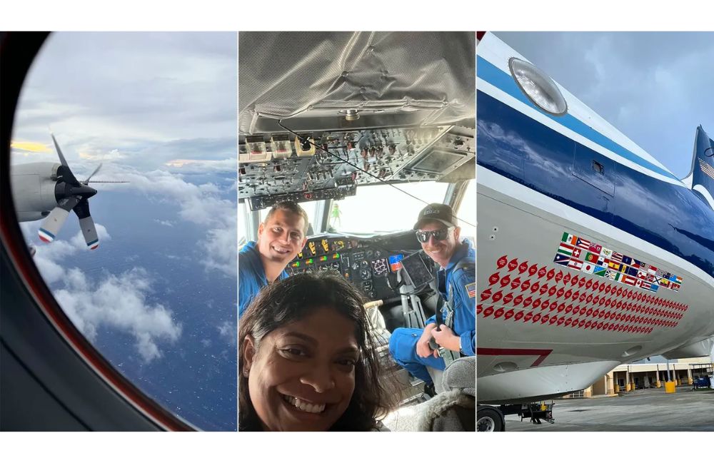
The big picture: I had a chance this past weekend to fly on a NOAA Hurricane Hunter flight into Hurricane Lee. Here’s what I learned.
- I spent 7 hours on board NOAA WP-3 N42RF, nicknamed “Kermit” (the other plane is called Miss Piggy), as we did five passes as close as we could get to the center of the eye of Hurricane Lee.
- Lee has varied in intensity as it’s trekked across the Caribbean. It was rated as a Category 2 when I flew through it.
- It was bumpy, but not as bumpy as I expected.
- I was told by the team, which consisted of 19 staff, including more than a dozen NOAA scientists and flight crew, including three pilots, that I got off pretty easy.
How it works: During these missions, scientists are sending back, in real time, 50 to 100 GB of data about the storm — the basics, like rainfall, wind speed and barometric pressure, but also scores of other data points.
- A radar measures the size of the waves underneath the storm — data that has helped form the current surf and riptide hazard forecasts we’re likely to see in Caribbean and Atlantic coastlines all week because of the storm.
- Other scientists deploy dropsondes from the plane, weather devices that capture additional data as it travels through the storm.
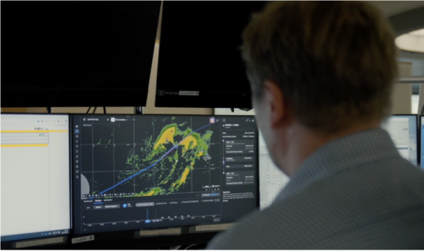
- The planes are also outfitted with a tail Doppler radar — which only NOAA hurricane hunters have — that’s essentially doing CAT scans of the storm, with all of this being fed to the National Hurricane Center, so forecasters there can develop three-dimensional models of each storm.
By the numbers: NOAA runs, on average, 300-400 flight hours total between its two aircraft each hurricane season.
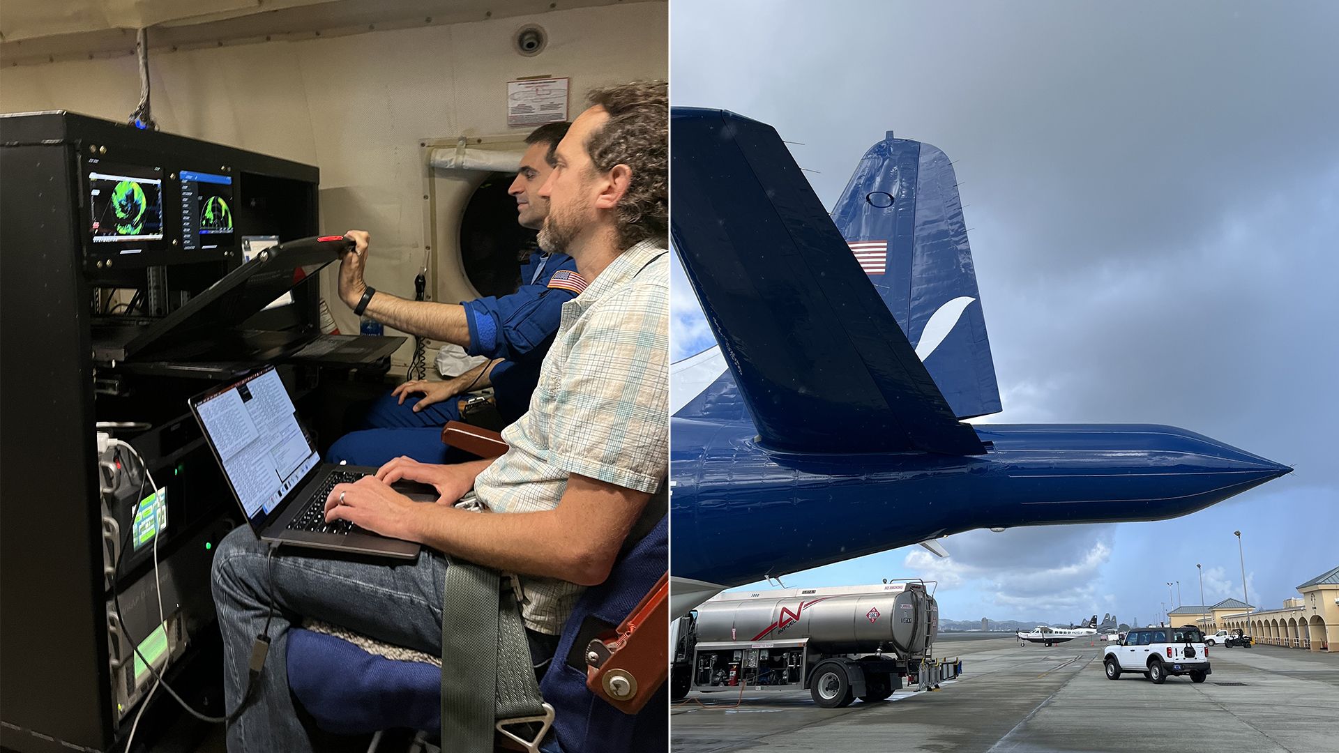
What they’re saying: “We are just people who love the coast,” said flight director Jack Parrish, who told me that when he started these flights more than 40 years ago, forecasts of hurricanes were limited to three days out.
- Now, the National Hurricane Center is tracking storms as far as seven days ahead. “So many people live in harm’s way and with rising sea levels that just adds and exacerbates the problem,” Parrish said.
Details: Kermit, a Lockheed WP-3D Orion aircraft, was acquired by NOAA in 1975 and started flying through storms in 1976.
- “I started flying in 1980, so you get the idea of how long this airplane’s been pounding through that kind of an environment,” Parrish said, adding, “We always take it out in the worst storms we can find because that’s where the most valuable research is done.”
- Last year, the Disaster Relief Supplemental Appropriations Act allocated $328 million to NOAA to buy a new plane.
Go Deeper:
- 🎧: Listen to interviews with Flight Director Jack Parrish and NOAA Corps Lt. Commander Kevin Doremus on this morning’s episode of Axios Today.
- 📸: Check out our Instagram for more photos and videos of what it was like to be on this flight.
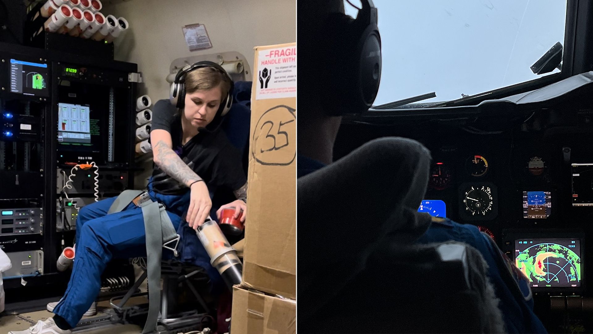
Photos: Niala Boodhoo/Axios

