The Northeast is set to see a major snowstorm this weekend. Beginning Friday night into Sunday, a system will bring strong winds, heavy snow, and possible flooding in some areas.
But with so many forecasts available, it can be difficult to understand how a storm of this magnitude will impact your area, specifically—and, more importantly, how your city/municipality can act.
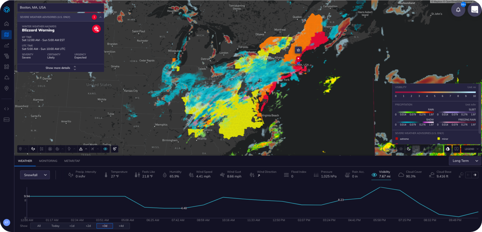
Tomorrow.io’s Director of State & Local Government Sales Ed Carroll sat down to create an actionable walkthrough of what cities like Boston can expect based on Tomorrow.io’s proprietary models and insights.
Boston
*This video was recorded at 5:22pm on 1/27/2022
Highlights include:
- Snow starting roughly between 10:00-11:00 p.m. on Friday
- Snow will really increase in intensity by 8 a.m.
- The city could see well over two inches an hour during
- Ultimate accumulation could be from 1-2 feet
- Wind gusts could be up to 60 miles per hour, which may make measuring accumulation difficult
How Local Governments and Municipalities Can Act
While snow removal may seem like the most obvious next step for cities like Boston, there are a number of ways local leaders can prepare for a storm through weather intelligence, as shown in the video:
-
Improve Harbormaster Communication – Reduce unnecessary damage across port operations by issuing warnings and securing equipment ahead of time
-
Prepare for High and Rising Transportation Demand – Schedule extra staff and perform maintenance for high public transportation demand
-
Minimize Risk From Bad Road Conditions – Reduce collisions and increase emergency response staffing.
-
Send Alerts to Seek Shelter – Alert staff and citizens when they should seek shelter based on the storm’s movement and precipitation intensity.
Ed focused on downtown Boston for this forecast, but Tomorrow.io’s platform provides hyperlocal visuals for every latitude and longitude globally.
Interested in seeing what this storm holds for your city?
Let us know!
