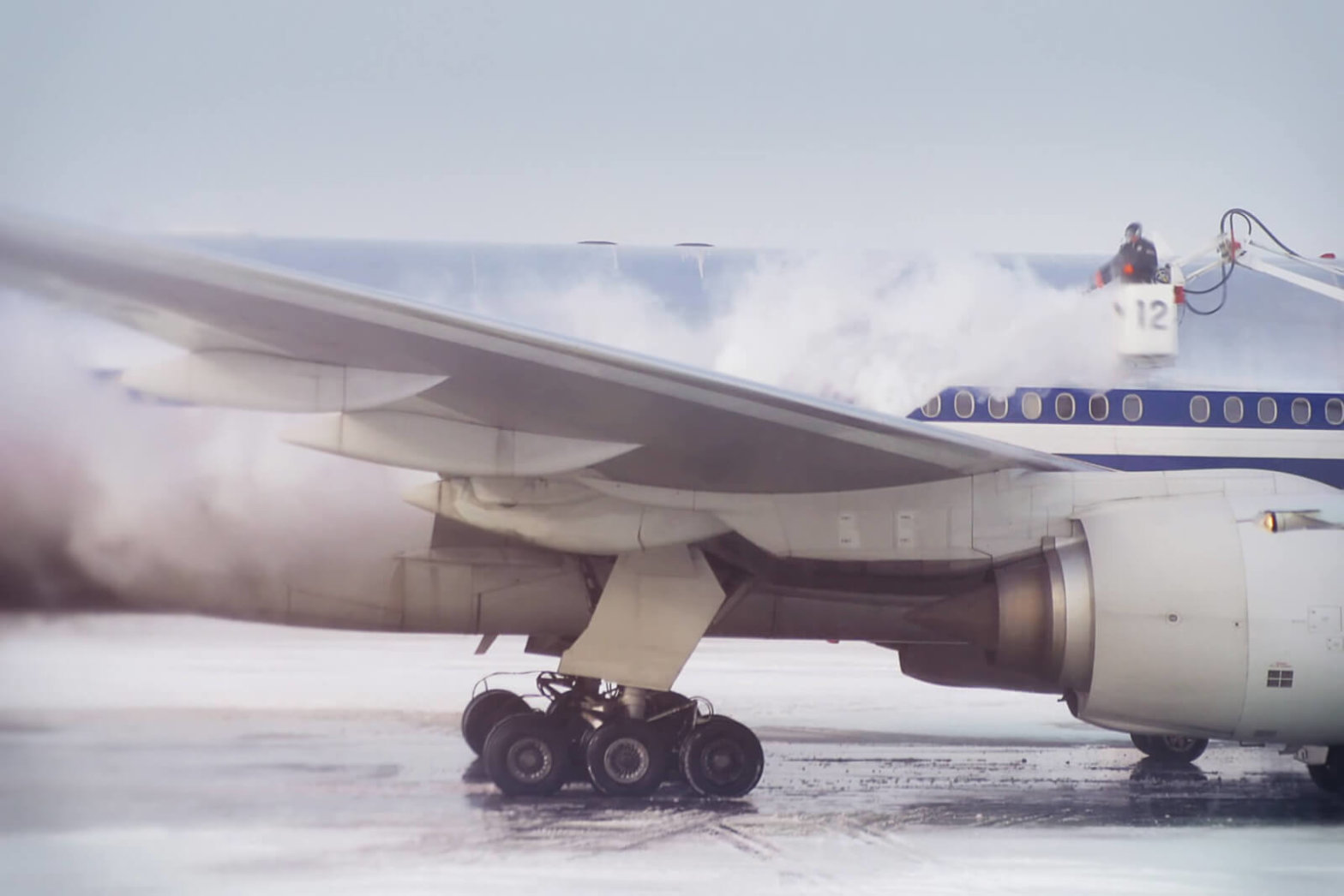
Winter conditions cause aircraft handling problems due to limited snow-removal or deicing equipment and weather that shifts faster than it can be monitored. The FAA warns that, “Any deposits of ice, snow, or frost on the external surfaces of an aircraft may drastically affect its performance.” However, traditional weather reporting tools leave airports and airlines scrambling in severe winter weather.
Tomorrow.io is solving challenges like this one, and many others, wielding new MicroWeather data, proprietary algorithms, and products to dramatically increase safety and improve the passenger experience. Our customers benefit from:
- Reduced unnecessary real-time diversions and cancellations
- More predictable snow removal operations and deicing
- Better preparedness in low visibility conditions
- Improved passenger experience with transparency for customers facing weather delays
Classifying Precipitation:
Since varying amounts of ice cause holdover times to differ in heavy snowfall, rain, and fog, it’s crucial to be able to accurately classify the precipitation type at ground level for snow removal and deicing operations. This affects everything from the choice of fluid type and deicing methods to departure planning using holdover times. The ICAO says, “The successful treatment of ice and snow deposits on aeroplanes on the ground is an absolute necessity to the safety of winter operations.”
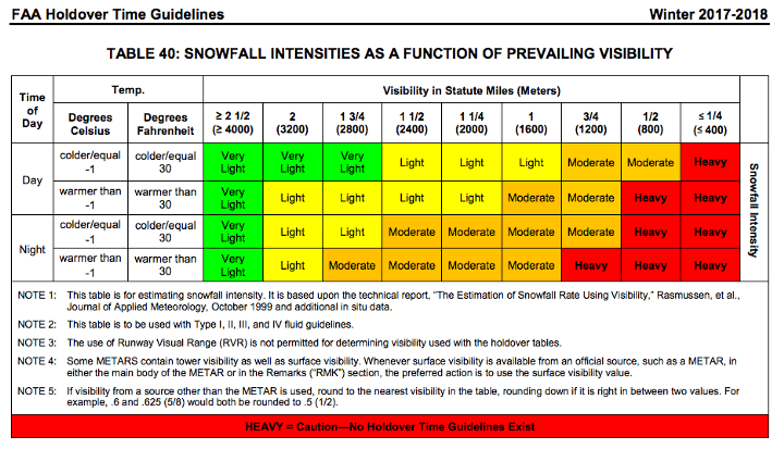
FAA Snowfall intensities as a function of prevailing visibility, holdover time guidelines for winter 2017–2018
Reports from the National Weather Service, such as Terminal Forecasts and Airport Weather Warnings, make use of traditional weather monitoring tools, including global models and doppler radar.
Since winter 2017–2018, ground-based deicing and snow removal operations have had a new source of real-time precipitation classification and short-term forecasts, powered by big data and high-performance computing.
Observation altitude:
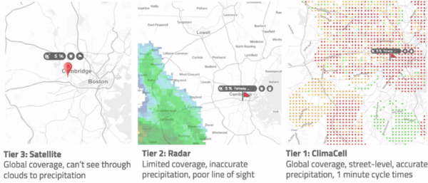
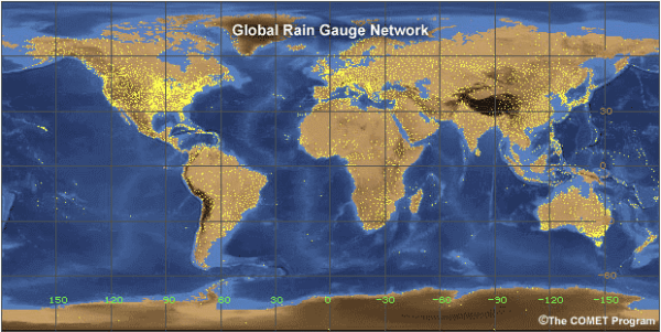
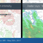
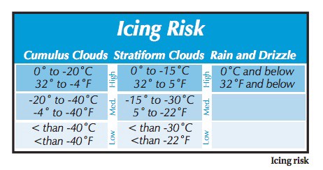
Traditional weather observations and forecasts lean heavily on radar reports, which may detect ice crystals at the cloud level. However, those ice crystals may change or melt by the time they get to ground level. Ground-level reporting is critical, but it also must be in real-time. That’s where radar falls short.
https://www.aopa.org/-/media/files/AOPA/Home/Pilot-Resources/ASI/Safety-Advisors/sa11.pdf
Overcoming latency:
While radar and satellite refresh times are getting faster than ever, it still takes an average of 10 minutes to process the data, render images, and compute a forecast. Even if you were to get inputs every minute using traditional monitoring tools, the information would be outdated by the time it became available for operational needs.
Leveraging new, zero-latency technology for real-time, airport-specific forecasts:
Tomorrow.io offers a groundbreaking solution for winter aviation operations. With new software that taps into wireless networks, we can provide real-time weather reporting and minute-by-minute, short-term weather forecasting at any airport, as well as other forecasts. Plus, by processing millions of data points in seconds with GPU computing, we turn observations into highly precise forecasts at one-minute intervals, up to six hours in the future.
Tomorrow.io helps aviation customers stay ahead of and effectively address all types of precipitation, from wet snow removal in above-freezing temperatures, operating windshield frost, fog, and ice control systems, or selecting the appropriate deicing or anti-icing measures.
Read The New Rules of Weather for Aviation Operations, Tomorrow.io’s new publication. Request a demo today to learn how your aviation operations can benefit from Tomorrow.io’s MicroWeather forecasting tools, like HyperCast Aviation or the MicroWeather API.
